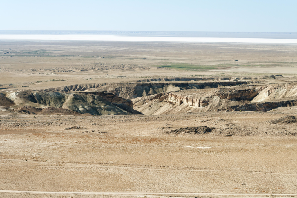
They are Hill, Valley, Ridge, Saddle, and Depression.
The acronym for the five major terrain features is often remembered as
Hidden Valley Ranch Salad Dressing
Where Hidden refers to Hill, Valley is Valley, Ranch refers to Ridge, Salad refers to Saddle, and Dressing refers to Depression.
Very important to know:
On topographic maps, you can identify ridges and valleys by looking for the “V”s: the pointy end of the “V” points uphill for valleys and downhill for ridges.

— With Contour line, it helps to know wheher you will be walking up or down so helpful when route planning because if you have to walk so much up hill then maybe walk around it would be better.


A hill:
is a high area of land where the ground slopes down in all directions from the hilltop

A valley:
is a low area of land between hills or mountains, typically with a river or stream running through it.

A ridge:
refers to a line of elevated terrain, essentially a long, continuous high point with sloping sides on either side, meaning you would have lower ground in most directions when standing on the crest of a ridge; it’s typically depicted on a map by “V” or “U” shaped contour lines pointing downhill. The opposit of a ridge is Valley.

A saddle:
is a low, curved area of land between two higher points, typically forming a dip or depression along a ridge or mountain range.

A depression:
A depression is a low point in the ground or a sinkhole. It could be described as an area of low ground surrounded by higher ground in all directions, or simply a hole in the ground. Usually only depressions that are equal to or greater than the contour interval will be shown.


